

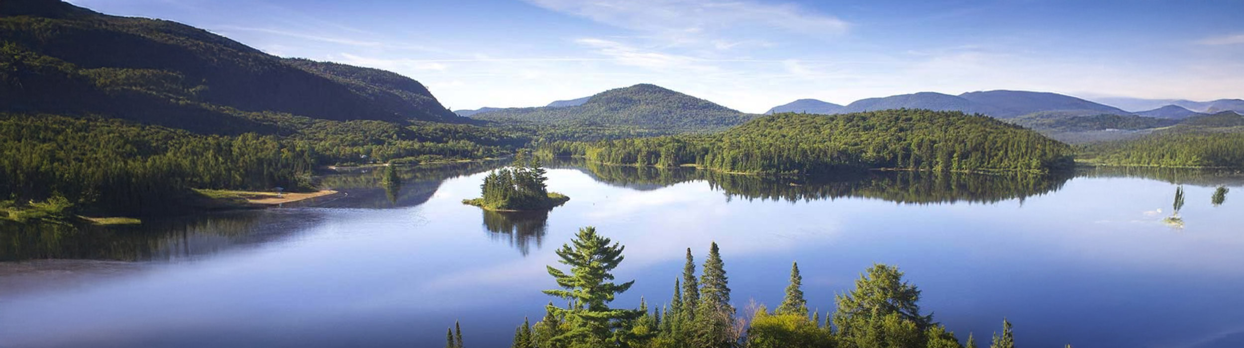
Although current exploration is focused on priority drill targets, the Ruisseau project encompasses a considerably larger area. Lomiko controls additional concessions extending eastward, where previous exploration work has also yielded encouraging graphite results and offers further exploration potential.

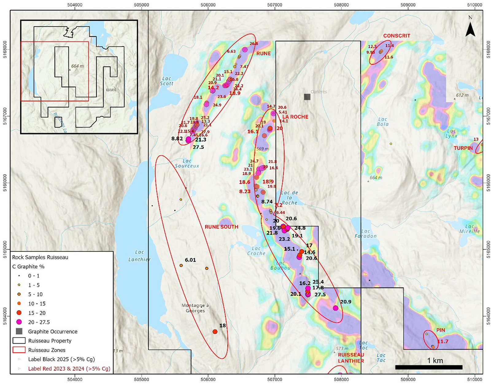
Ruisseau Property – Regional map

Ruisseau Project – Current Initial Exploration Plan
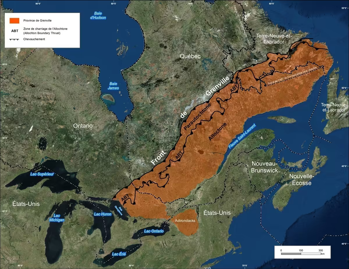
About the Province of Grenville
The Ruisseau property is located in the Grenville Geological Province, one of the major provinces of the Canadian Shield. This region represents the deep roots of an ancient mountain range formed approximately one billion years ago during the continental collision that shaped much of eastern North America.
Today, the Grenville Province stretches over 2,000 km, from the Great Lakes to Labrador, and covers nearly 495,000 km² in Quebec.
This geological evolution has fostered the formation of numerous critical and strategic mineral deposits, including graphite, as well as titanium, iron, rare earth elements, and several other economically important minerals. For this reason, the Grenville Province is now recognized as one of the most important regions in Quebec for the exploration and development of these resources.
Exploration Work
A geophysical survey totaling 246 km of lines was carried out on the property.
The work has made it possible to identify:
538 electromagnetic anomalies (TDEM)
- areas where the subsurface exhibits electrical properties different from those of the surrounding rocks, potentially indicating the presence of graphite.
204 moderate to severe conduction abnormalities
- areas where the rocks conduct electricity more readily, which may be associated with the presence of graphite.
Eleven linear trends associated with magnetic signatures, considered as potential targets for graphite mineralization
- geological structures detected through variations in the magnetic field that could be favorable to graphite mineralization.
These results indicate a favorable potential for the presence of graphite in several areas of the project.
Recent Results
2024
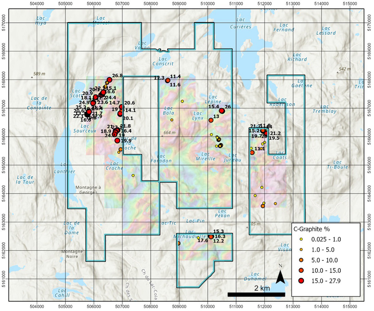
107 samples were taken from the Ruisseau property, including
24 samples
> 20% Cg
> 20% Cg
55 samples
> 10% Cg
> 10% Cg
71 samples
> 5% Cg
> 5% Cg
92 samples
> 1% Cg
> 1% Cg
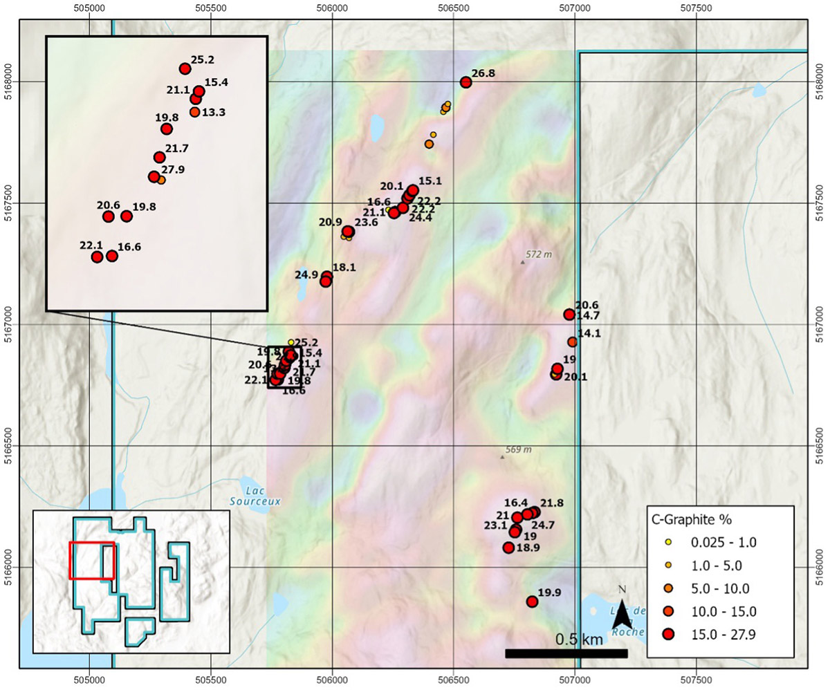
Four main areas of high-grade graphite have been identified:
Rune
Up to 27.9% Cg over 1500 m
Up to 27.9% Cg over 1500 m
La Roche
Up to 24.7% Cg over 1300 m
Up to 24.7% Cg over 1300 m
Eastern Zone
Up to 21.7% Cg over 200 m
Up to 21.7% Cg over 200 m
South Zone
Up to 17.6% Cg (potentially up to 500 m)
Up to 17.6% Cg (potentially up to 500 m)
2025
A prospecting and sampling program carried out in the spring of 2025 resulted in the collection of 36 samples.
1 sample
< 0.05% Cg
< 0.05% Cg
6 samples
< 1% Cg
< 1% Cg
5 samples
1 to < 5% Cg
1 to < 5% Cg
4 samples
5 to < 10% Cg
5 to < 10% Cg
8 samples
10 to < 20% Cg
10 to < 20% Cg
12 samples
20 % Cg
20 % Cg
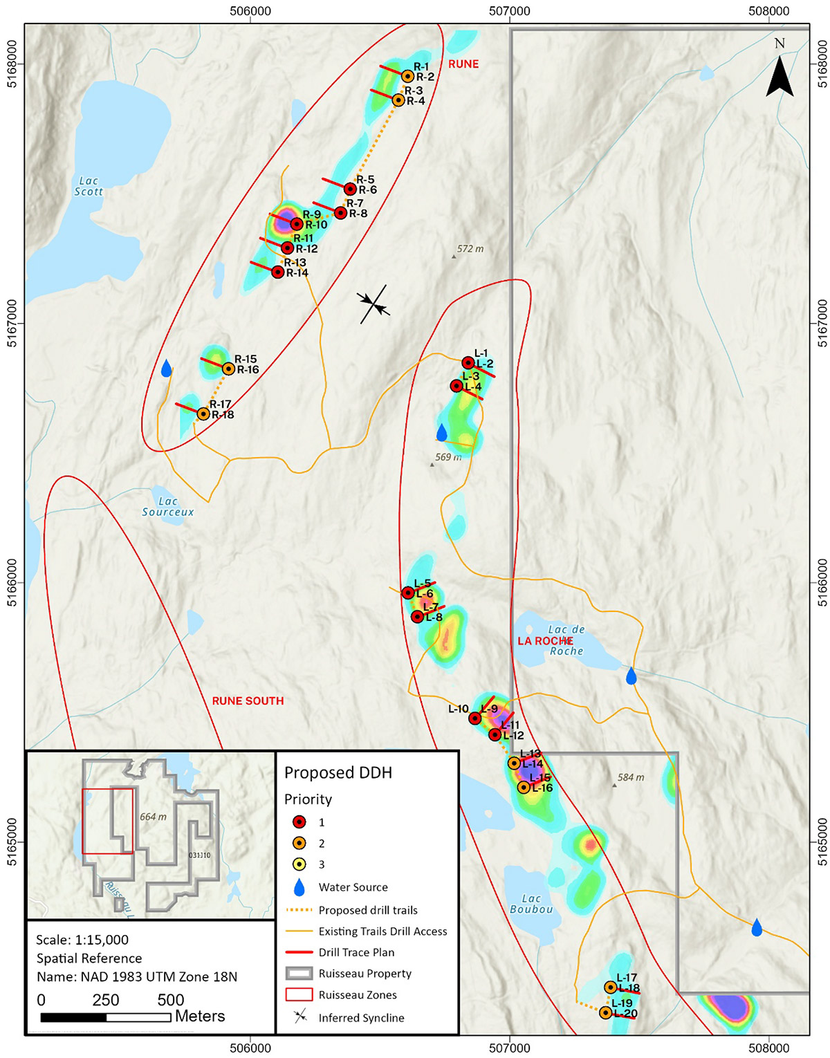
Proposed Drilling Program
Based on the results obtained, several targets were identified:
- Rune: 5 primary targets + 4 secondary targets
- La Roche: 6 primary targets + 4 secondary targets
A drilling program of approximately 2,500 m is planned to test priority targets.
Work is scheduled to begin in November 2026, subject to obtaining the
necessary permits.
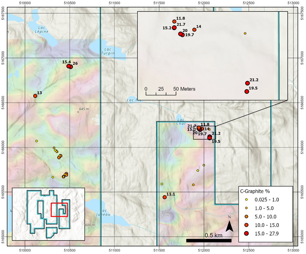
Historic Exploration Results

The project is located in metamorphic rocks of the Grenville Province, where graphite mineralization is typically associated with marbles, paragneiss and quartzites.
Four main areas of interest have been identified.
- Mineralization primarily associated with marble
- Graphite present in the form of disseminated flakes
- Historical samples up to 19.49% Cg
- Drilling intersections including 10.14% Cg over 6 m
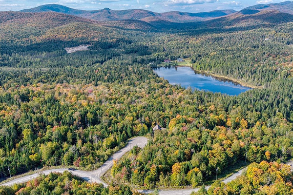
- Mineralization in schistose paragneiss
- Graphite disseminated in flakes
- Historical intersections up to 9.86% Cg over 46.75 m
- Surface samples around 12% Cg
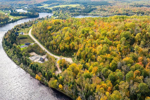
- Graphite present in bands of schistose gneiss
- Graphite flakes from 0.5 to 5 mm
- Surface samples up to 15.53% Cg
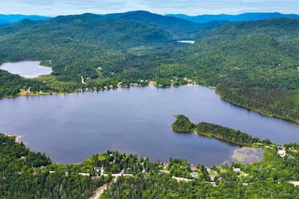
- Graphite is present in marble and paragneiss
- Historical samples up to 23.0% Cg
- Graphite disseminated in flakes of 0.5 to 1.5 mm